We traveled almost 1000 km over rough roads over the last two days - last night we were tired and there was no internet, so today is a combo.
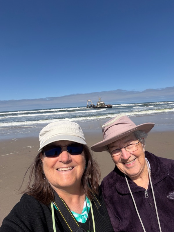
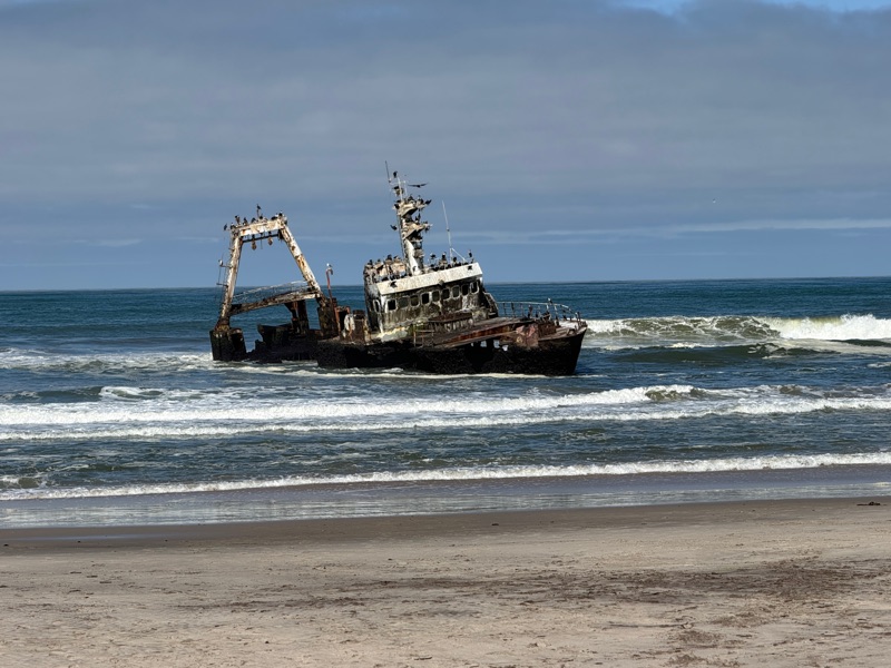
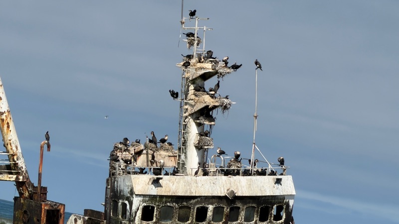
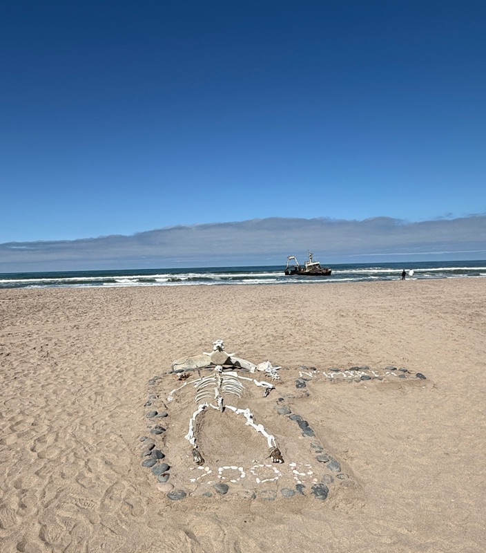
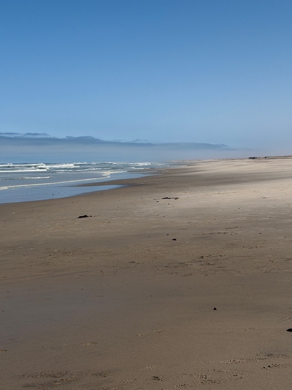
We left Walvis Bay around 9 am, heading north. We went past miles of gorgeous but totally empty Atlantic beaches. Our first stop was the Zelia wreck - a fishing trawler that ran aground in 2008 and has been slowly decaying ever since. The Skeleton Coast is known for having over 2000 shipwrecks, but this one is one of the closest to shore, close to towns on the coast, and is perhaps the most intact. Many of the 2000 at this point have been reduced to fragments. The view from the beach was dramatic, and the colony of Great Cormorants added to the appeal.
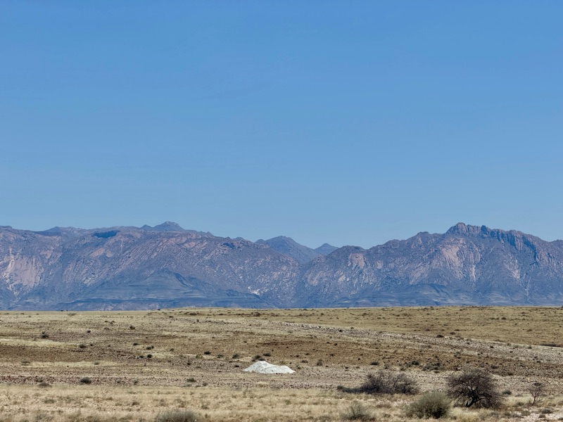
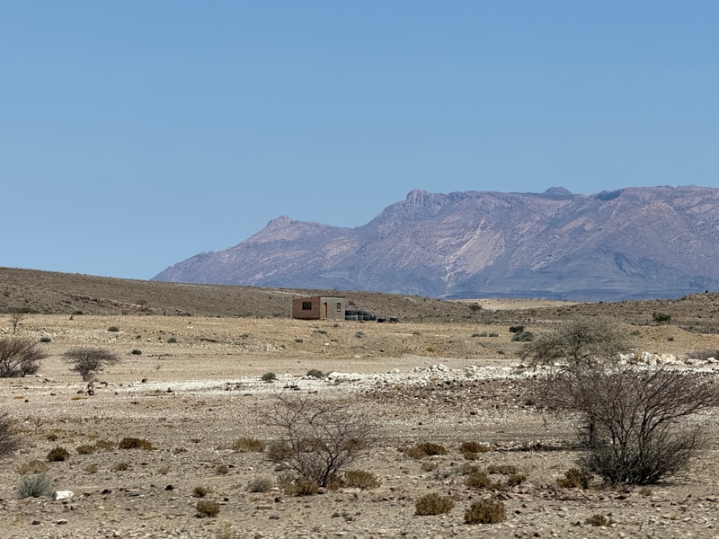
At Henties Bay, we turned inland heading for Damaraland region. We spent most of the day driving around the Brandberg Massif - the tallest mountain in Namibia (over 8,000 feet), and a huge, reddish extinct volcano. The mountain is called Daures Mountain in the Damara language ( i.e., Burning Mountain because of the red color at sunset.) It dominated the horizon for hours as we drove all around it.
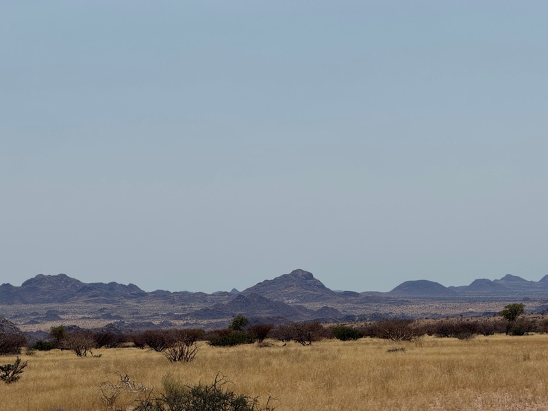
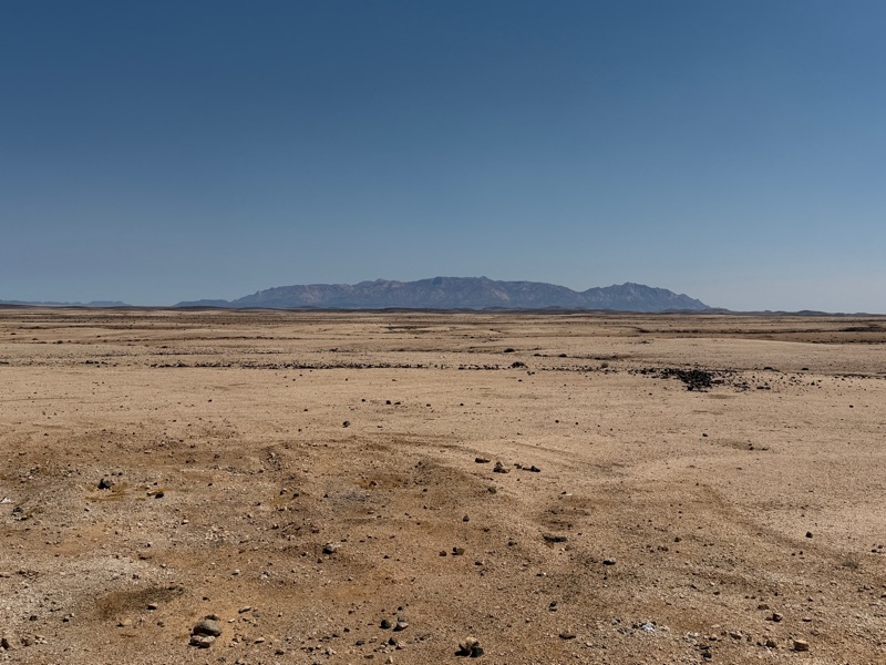
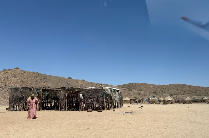
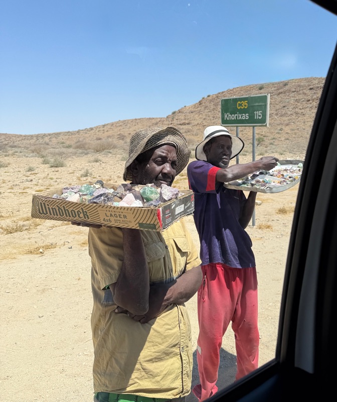
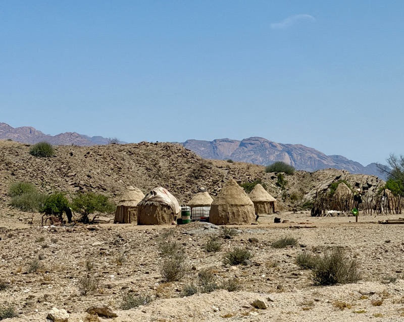
We passed a number of Himba and Herero villages on the way, offering crafts and village tours. Villager women who sat by the roadside came out towards the cars that had to travel slowly because of the washboard gravel roads, came out offering crafts for sale and asking for water, food and money. It was sad to see how desolate the terrain was and how extreme the poverty. These traditional herders have been devastated by recent droughts and were struggling to get by. We didn’t stop for a visit, but offered food and water when we could.
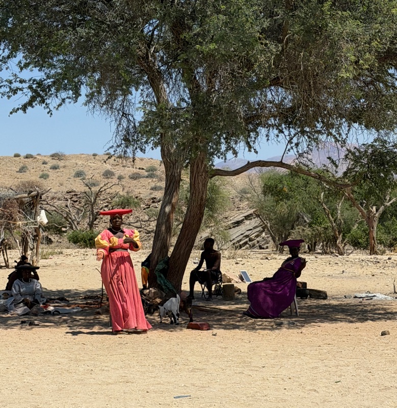
Around 3 in the afternoon, we picked up a local guide who directed us to the Twylfelfontain UNESCO world heritage site. The valley was named by the German homesteader who lived there for 20 years. Twylfelfontain means “doubtful fountain” referring to the spring near the site that is sporadic in its supply of water. When the San tribes used the site for gatherings and rituals between 6000 and 8000 years ago, water was more plentiful.
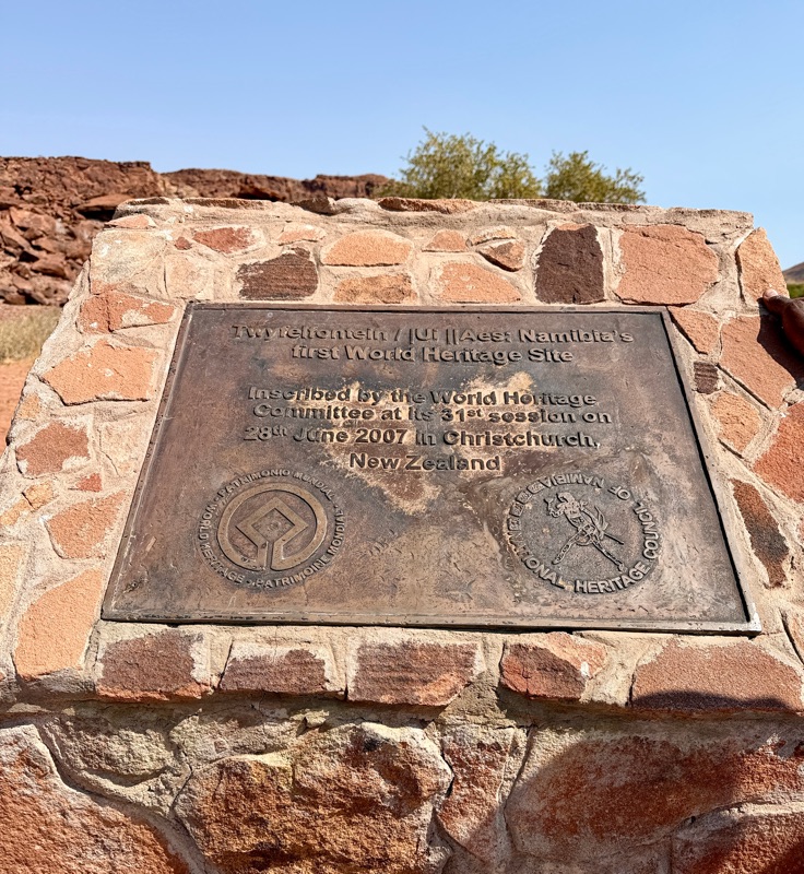
At the site, we were assigned a site specific guide who did a great job of explaining the amazing petroglyphs, as well as giving Ruth a hand up and down some particularly huge rocks in some of the trickier parts of the climb up the side of the jumble of rocks where the petroglyphs were. We loved the site and the guide was thorough and helpful.
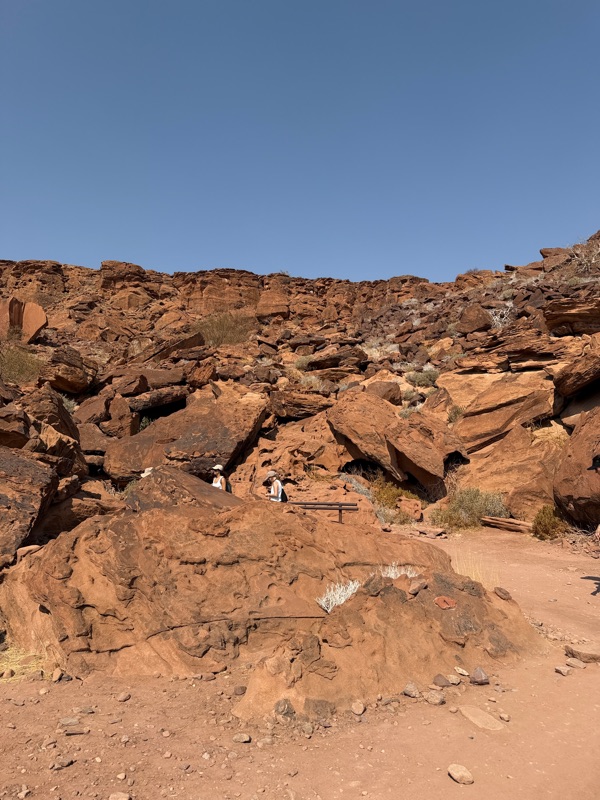
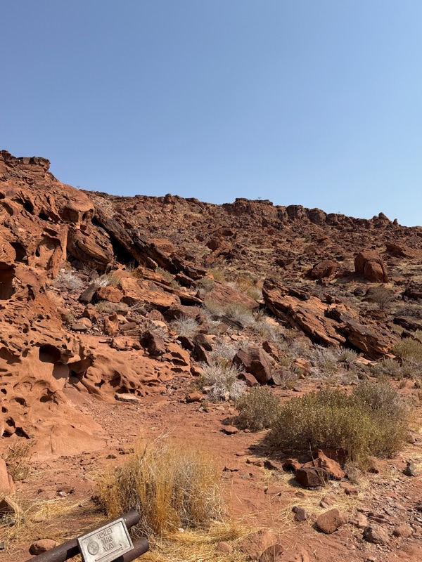
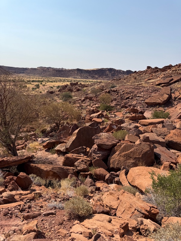
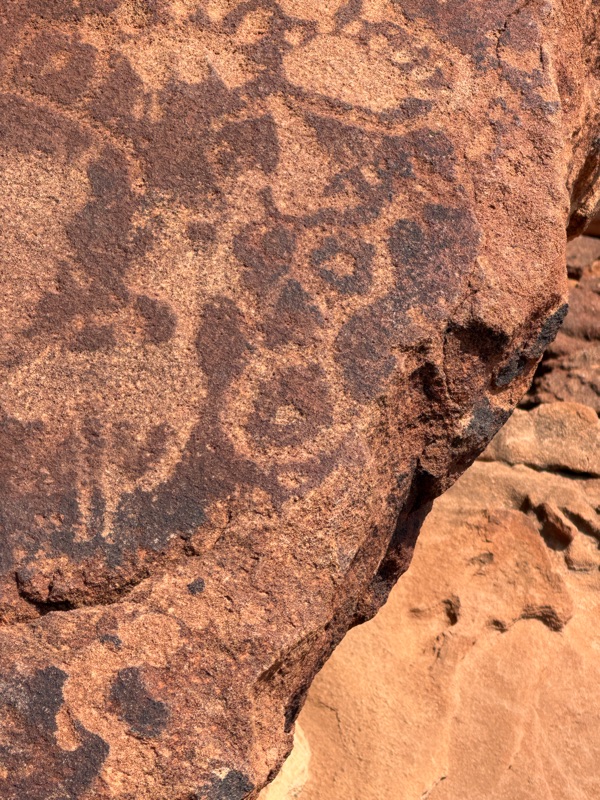
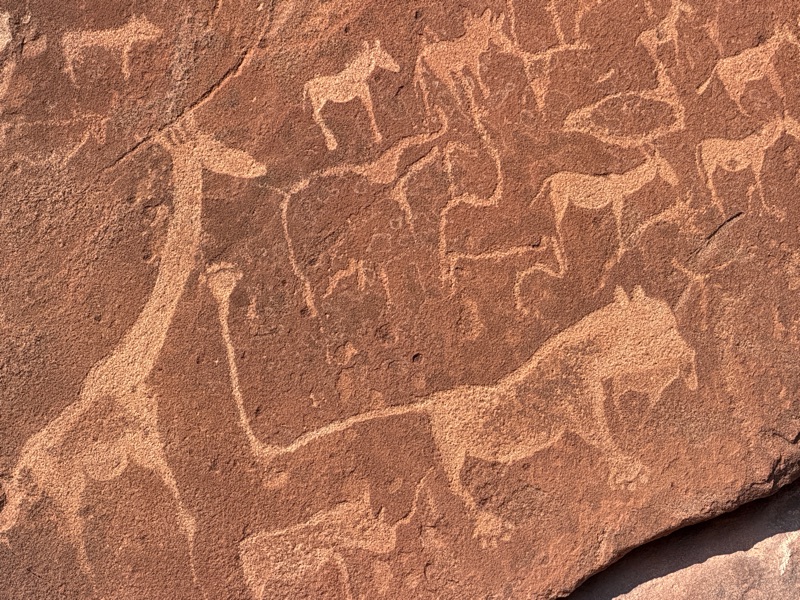
There are about 2000 petroglyphs at the site, as well as some rock paintings from later groups. The etchings are messages from one group of nomads to others explaining what animals they saw, where they hunted, where to find water and other important pieces of information. While giraffes, elephants, ostrich, oryx and other antelope are common in the pictures, there are also some seals, flamingos and crocodiles, indicating these nomads went to the ocean to hunt as well. The depiction of the water holes used icons that are exactly the same as aboriginal tribes in Australia.
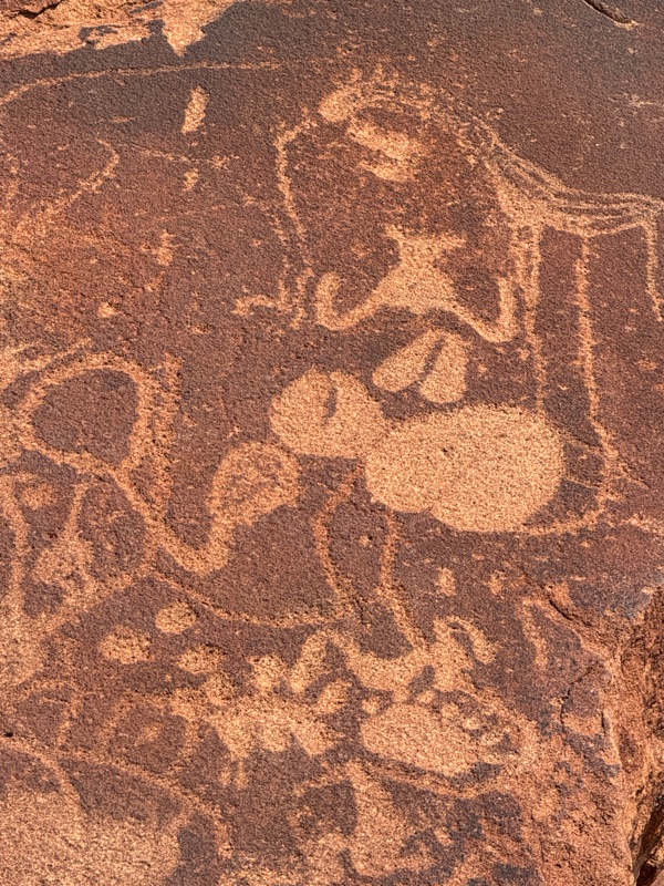
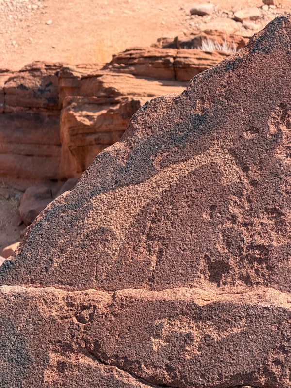
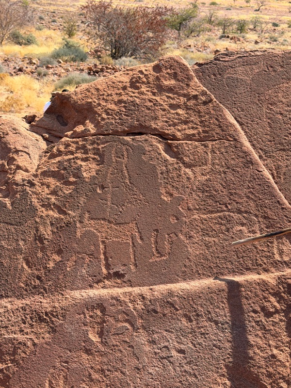
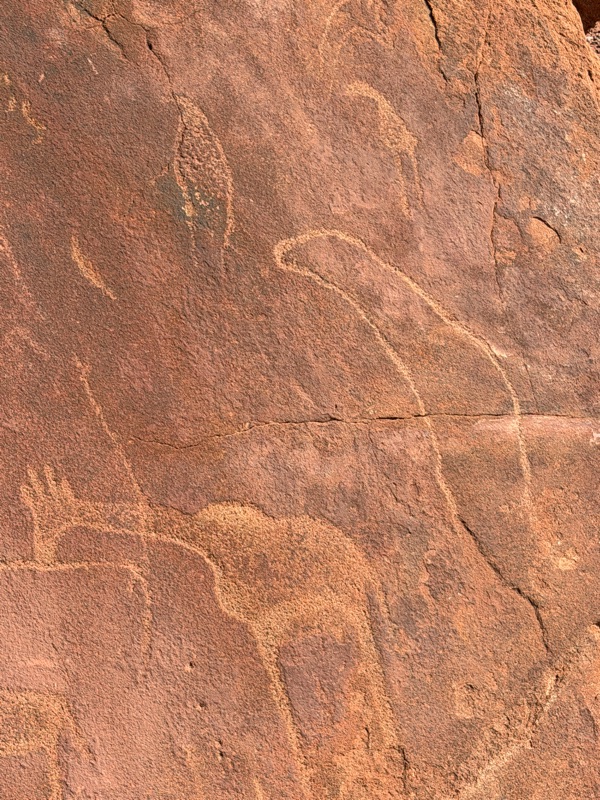
The most famous panel features a large lion whose long tail ends in a human hand. This figure is thought to represent a shaman.
After resting a bit, we proceeded toward the town of Khorixas, which was a major hub in the area that was sure to have gas, an important feature as facilities were few and far between.
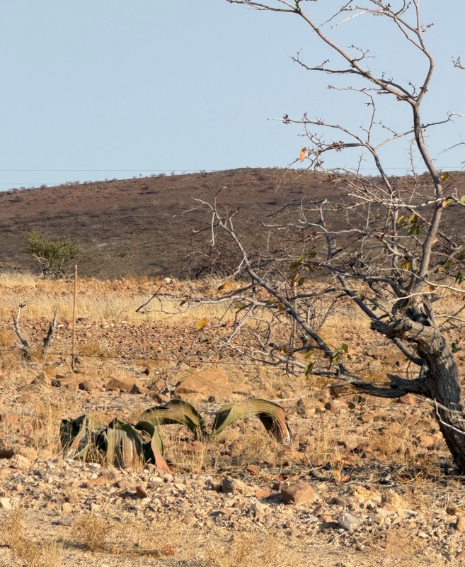
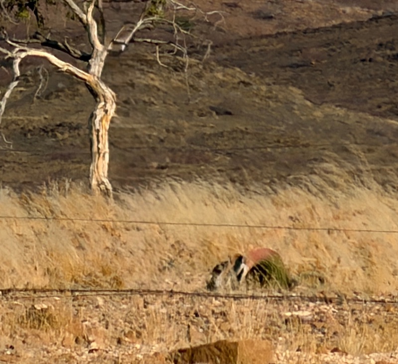
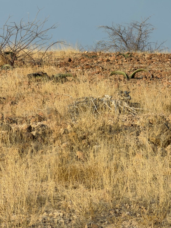
On the way we passed an area full of Welwitschia Mirabilis, the national plant of Namibia. The plant is very unusual. It is a living fossil because it dates from the Crustacean period and can live from one to two thousand years. The plant has only two permanent leaves that can grow to lengths longer than a blue whale. Over the centuries the leaves shred into ribbon like strips creating a leathery tangle that creates a microenvironment for small animals. It thrives in the extreme arid conditions. The ones we saw were not the enormous ones that gave it its reputation, but as they are fairly rare, we were happy to see some.
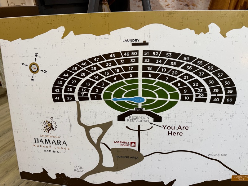
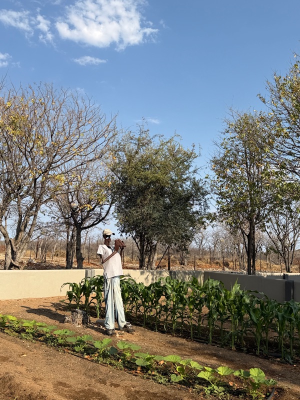
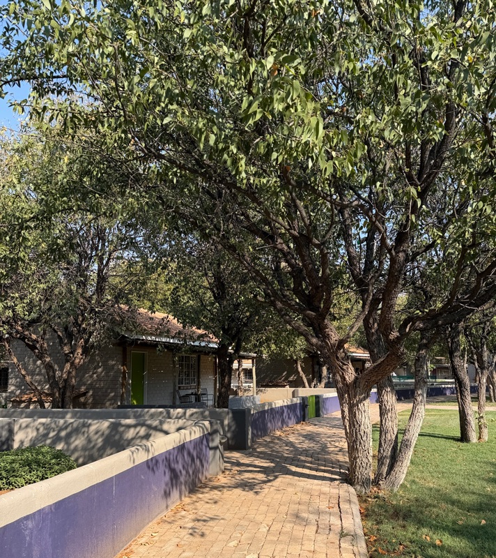
We arrived at our hotel, the Damara Mopane Lodge right at sunset, around 7 pm. The lodge has individual cabins, arranged four tiers in a semi circular fan pattern, each planted with vegetables and enclosed low walls. Between the main building and the cabins was a lovely park with grass and trees and an enormous swimming pool. It was indeed an oasis after a long hot day.
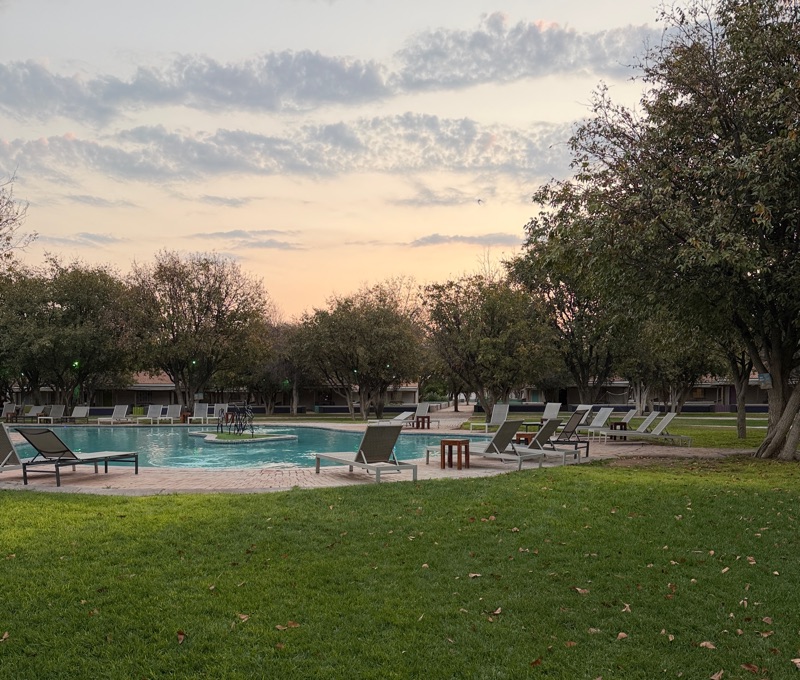
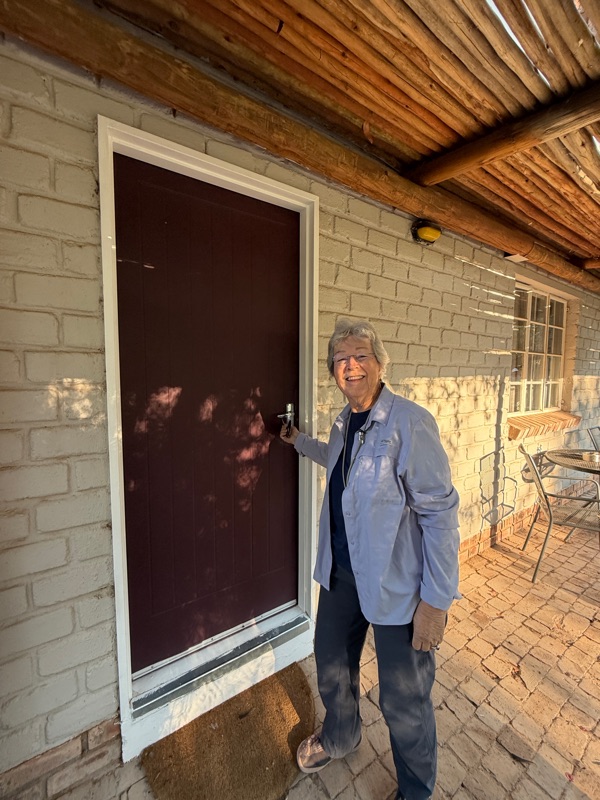
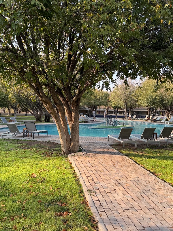
We had a lovely dinner in a large outdoor patio in front of the main lodge building. In addition to a very satisfactory meal, we were treated to a delightful birthday serenade for one of the guests by hotel staff, complete with native ululations. The pool area was lighted and beautiful at night. 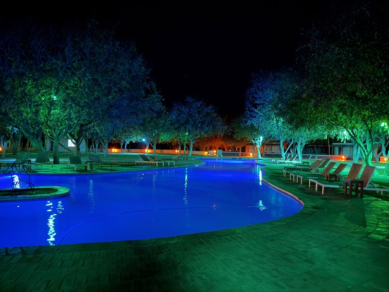
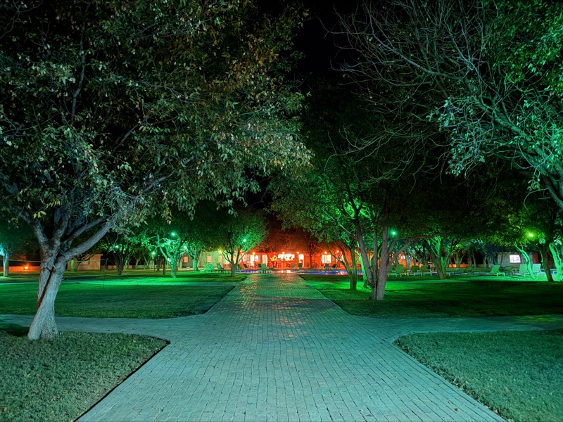
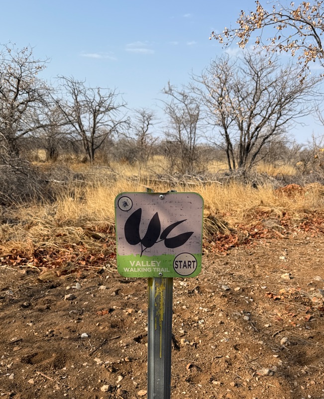
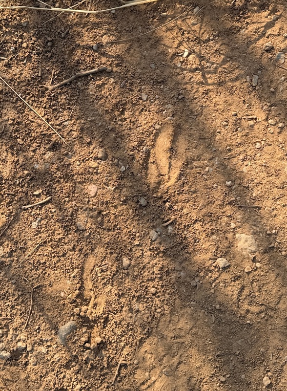
In the morning, before heading out again, we went for a “desert valley walk” on a path near the lodge. It was very peaceful walking alone among the acacia trees. We didn’t see much, but were happy to get a bit of a walk. We saw quite a few animal tracks in the sand.
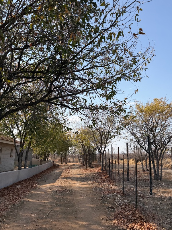
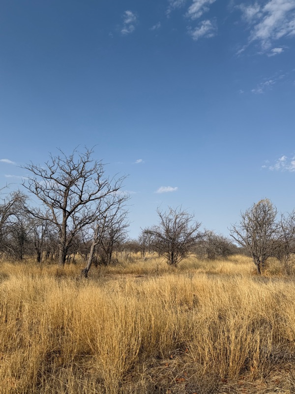
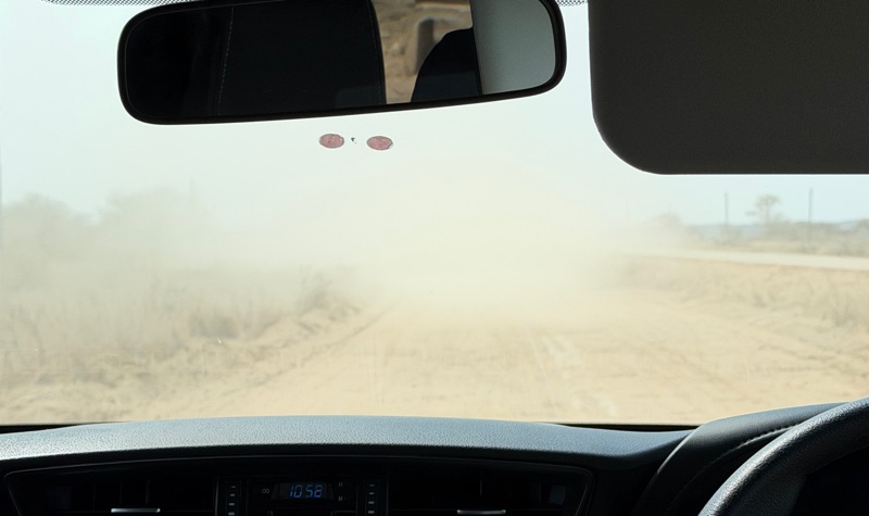
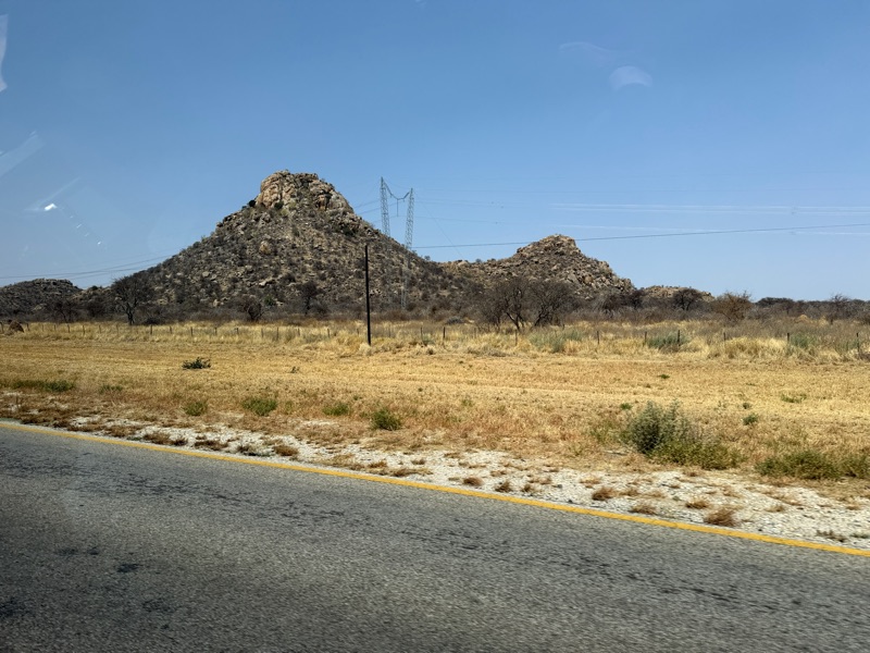
Although the drive started on the usual dusty, gravel washboard roads, most of the five hour drive today was on paved roads, which was a big change from the rest of the driving we did on this trip. We heaved a collective sigh of relief to see the pavement!
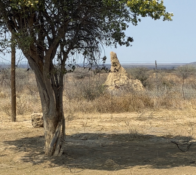
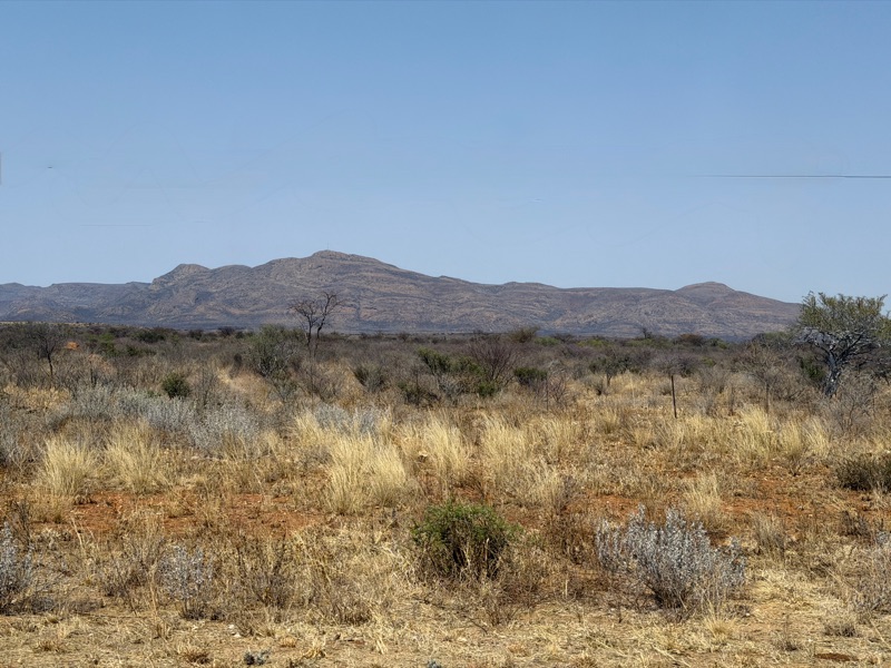
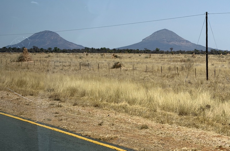
The landscape continued to be dramatic - mountains, grassy plains, scrub trees - extremely barren, but now with lots of termite mounds. Throughout this trip we were continually amazed by the miles and miles of uninhabited land. 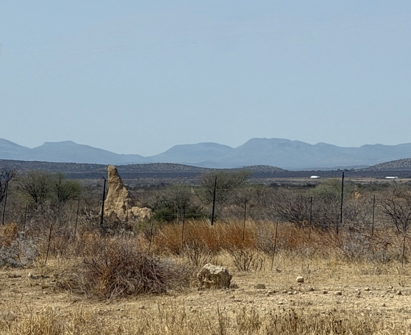
We got back to Windhoek, handled some administrative details and did a bit of shopping. Tomorrow we are off to Pretoria.


No comments:
Post a Comment